Hatebase
City Radii Project
As part of our efforts to monitor hate speech, we search for problematic content which has been geotagged by users, and then we use those geocoordinates to determine levels of hate speech in certain countries. Where this becomes difficult is when we narrow the focus to urban areas, since we don't have an easy way of establishing that any given set of geocoordinates is within the municipal boundaries of a certain city. (While we can do reverse geocoding, this is a processing-intensive endeavor which can still result in ambiguous place names and can be extremely (financially) expensive depending on the cartographic provider.)
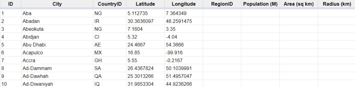
As an alternative solution, we've begun using the average radius of certain cities to do counts of hate speech (e.g. there are X incidents within a 10 km radius of city center). This requires that we calculate the radii of cities, which can be derived using algebra from the area of each city.
The purpose of this project, therefore, is to provide the area (ideally in km) of each city listed in our Cities table. As a bonus, we'd also like to add current population to our Cities table so that we can contextualize volume of incidents against number of people
I want to tackle this project
Check out other projects first